

The unique Qualities of the Kaw Valley
We often speak of the region of the Kaw Valley in Eastern Kansas as being exceptionally good for agriculture and worth protecting.
But what makes these lands special?
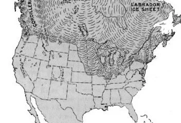
Glacial Soils
What are glacial soils? The most concise description comes to us courtesy of GeoKansas, from the Kansas Geologic Survey and KU:
“The Glaciated Region in northeastern Kansas was invaded by at least two of the eight or nine glaciers that ground their way down into the northern United States during the Pleistocene Epoch, between 2.6 million and 11,700 years ago. The first ice sheet to make it to Kansas covered just the far northeastern corner of the state before retreating. The second one, up to 500 feet thick in places, reached farther into the state about 600,000 years ago. It extended west almost to Manhattan and at least slightly south of Topeka and Lawrence along a line roughly parallel to the present-day Kansas River. When the ice melted, thick deposits of sediment—silt, pebbles, and boulders—called glacial drift were left behind. In some places, rich soils good for farming formed from the silt, which is called loess. Large quartzite boulders broken off from outcrops about 400 miles to the north in the vicinity of the intersection of South Dakota, Iowa, and Minnesota and carried south can still be seen littering a few hillsides in Kansas. The large chunks of the reddish rock, known as Sioux quartzite, stand out in fields of native grassland and have occasionally been used as building material…. Except for the glacial drift, most of the evidence of glaciation has been erased from the Kansas landscape by erosion.”
The glacial ice sheet advances thousands of years ago stopped at the Kaw River Valley, leaving behind a wealth of mineral deposits that are still with us today and make this some of the most productive soil in the region and the country.

Water- the Kaw Valley Alluvial Aquifer
Without getting too technical, think of it as the “river under the river” where the silt, sand, clay and gravel allow water to be stored and travel adjacent to and beneath the river. It is constantly being replenished by surface runoff in the river valley and groundwater below. This is different from a deep water table aquifer (like the Ogallala aquifer) where the water is replenished at a much slower rate. The Kaw Valley aquifer is easily accessible for irrigation by shallow wells that tap into this tap into this abundant source.

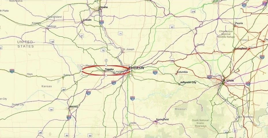
The Kaw Valley Aquifer- source: KGS

The extent of the aquifer is easy to visualize by simply looking at a Google Earth image of the Lawrence area.
For those in the aquifer it means that a constantly replenished source of water is literally a few feet beneath the surface.
GREAT SOIL MEETS GREAT WATER
NOTICE SOMETHING? Compare the glacial soil map and the aquifer map. The rich soils formed by the glacial deposits thousands of years ago meet up with the alluvial aquifer directly at the Kaw Valley in eastern Kansas. This intersection of plentiful water and glacial soil is unique to the region and found in very few areas of the country. It’s the perfect environment for agriculture.
Central Location
Produce, grain and other crops harvested in the Kaw River Valley have easy access to markets. The area lies in the middle of the country, where major distribution pathways intersect. I 70 and I 35 cross in the Kansas City region, as do major railway routes. This means that major intermodal transport facilities, warehousing, and storage facilities lie within a short distance of where the crops are being grown. The geographic availability of these facilities is critical to growers who want their products to reach markets in the most efficient manner.
Climate
Anyone in Kansas knows the weather can be unpredictable. While eastern Kansas does experience droughts, late and early freezes, and hailstorms, the winters are generally mild, we have long growing season, and there is adequate rainfall so that many crops can be grown without supplemental irrigation. Growing seasons for specialty crops can be extended with greenhouses, hoop houses, and open haygrove structures. When rainfall is not adequate wells can draw water from the abundant Kaw River Aquifer. We’re far removed from the effect of hurricanes which can disrupt the agriculture of coastal areas, particularly in the Southeast.. As climate change evolves this central location in the continent with its relatively mild climate and adequate water supply may prove more valuable.

History
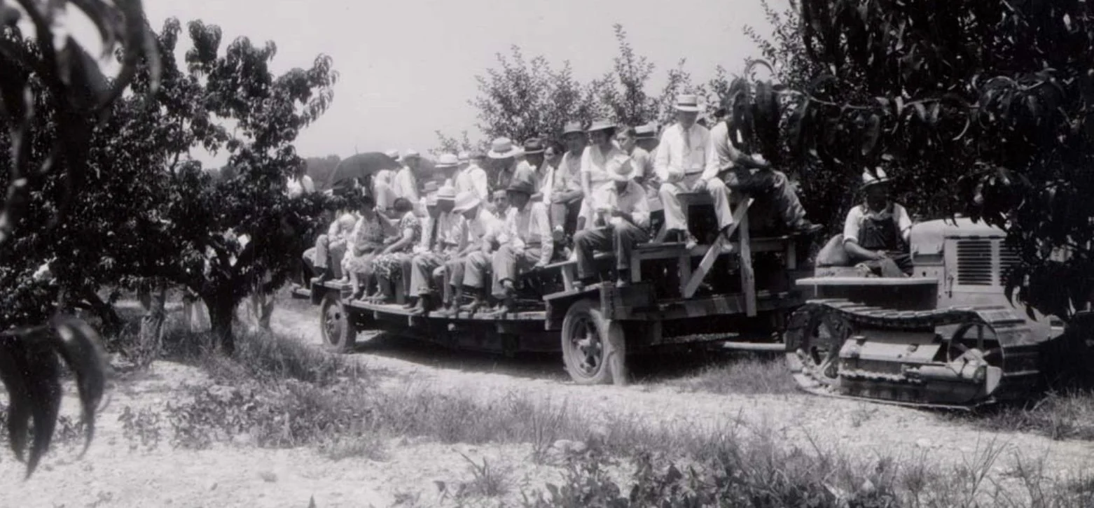
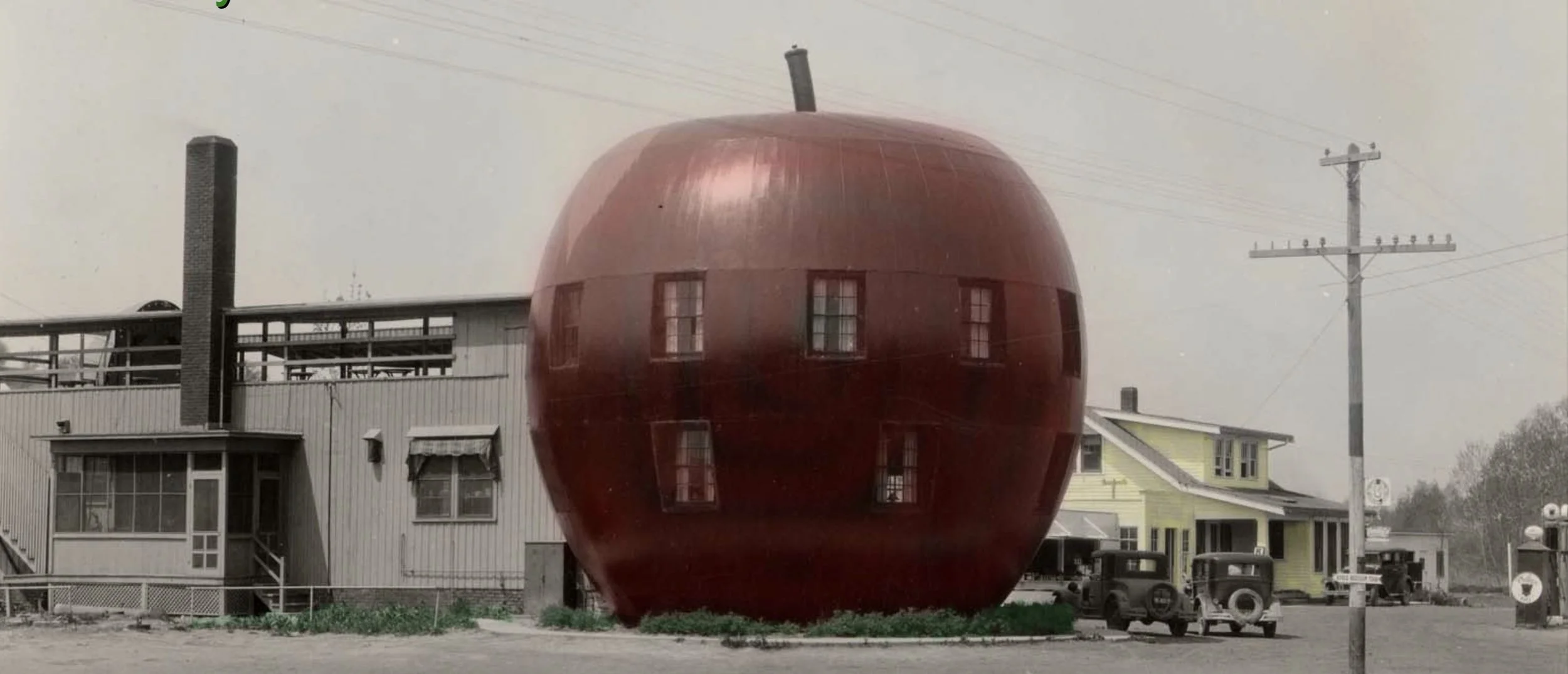
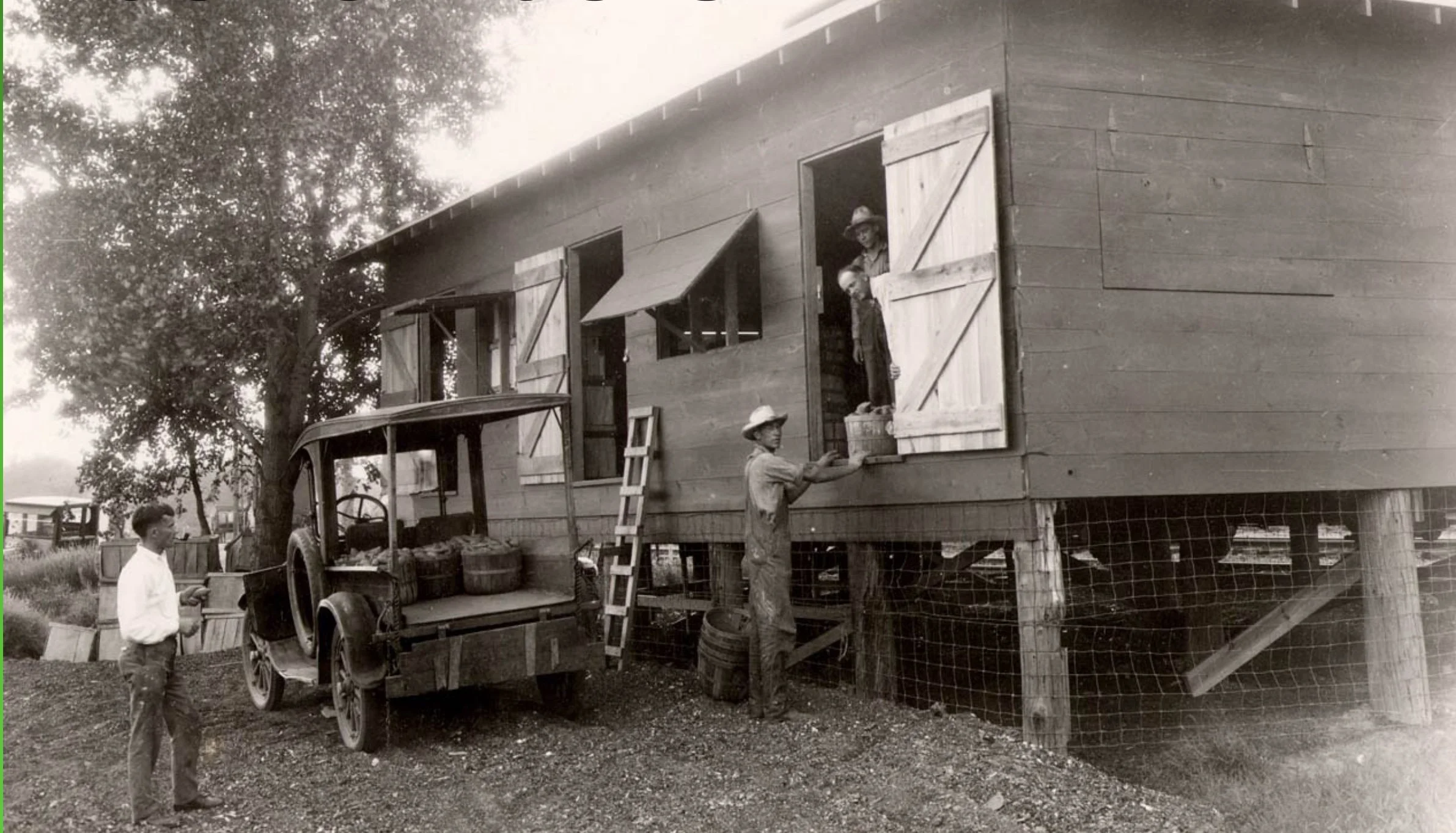
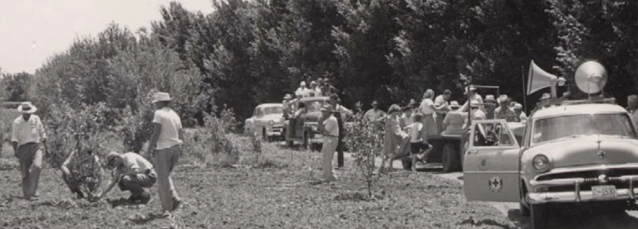
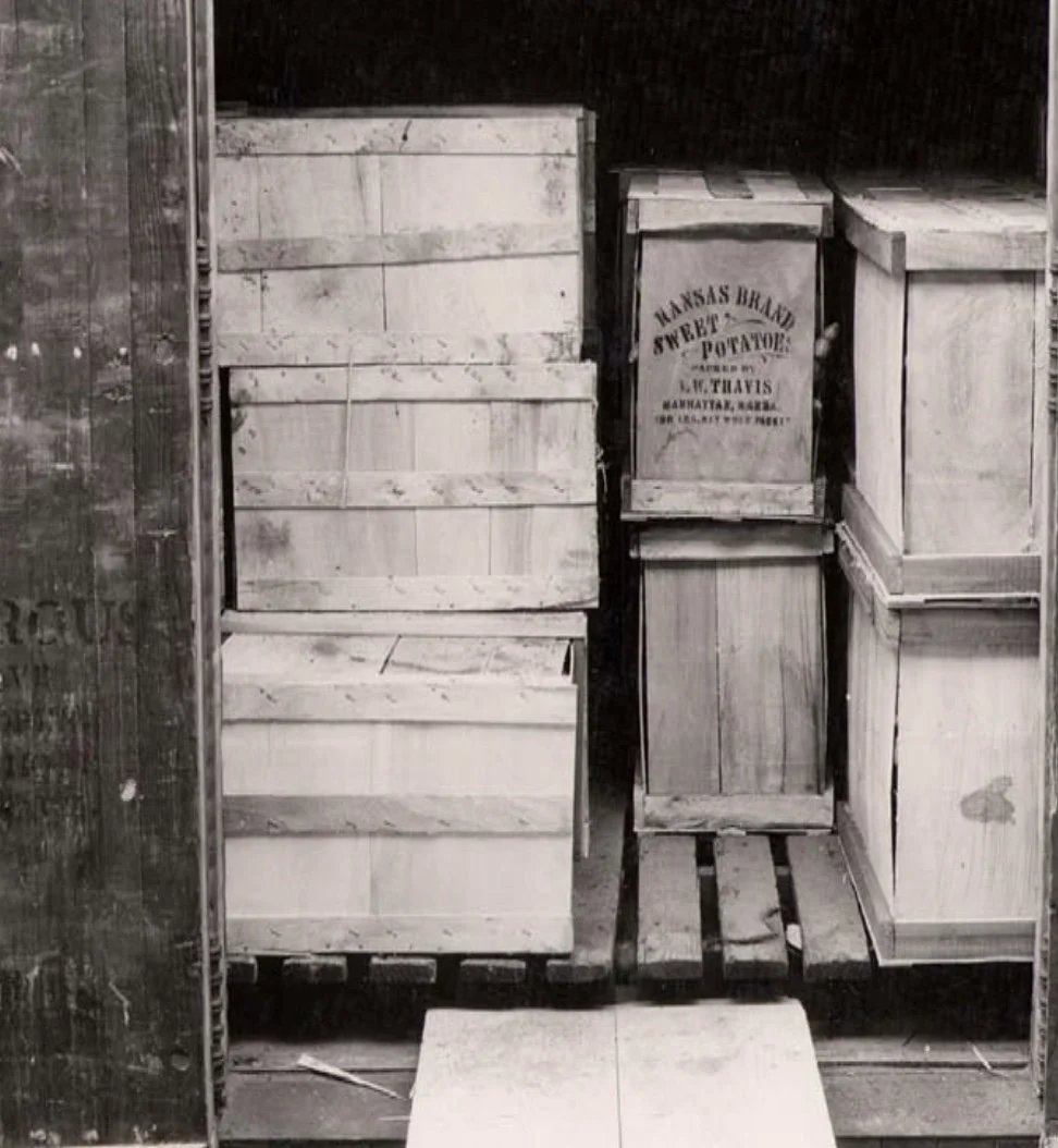
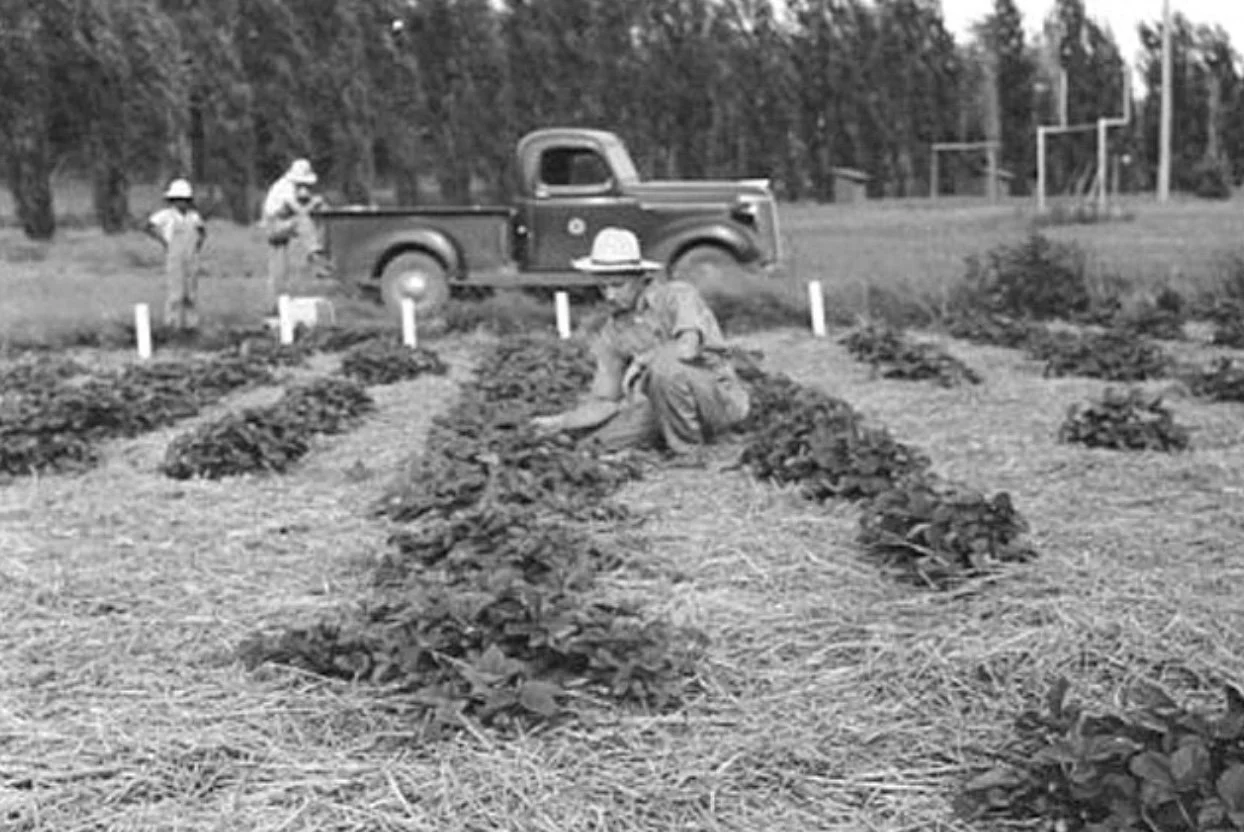
The Kaw River Valley produced a significant amount of fruits and vegetables in the past that fed our region and beyond, Potatoes, berries, grapes, melons, apples and other crops were a significant source of food and income for the growers in this fertile region and farms even hosted “city people” for agrotourism events.
It has long been recognized for its unique qualities of soil, climate, and water that make it ideal for growing crops and helped farmers sustain their families and communities.

Putting It All Together
Take incredibly fertile soil located over an abundant water supply only a few feet under the surface where it’s readily available for irrigation.. Add a good climate. Now place it in the central part of the country adjacent to a major transportation, storage, and processing hubs This is the Kaw River Valley, and these ingredients make it the ideal location now and for our future agricultural needs. Relative to the size of our state it represents a very small piece of our land. But it is vitally important to our farmers and our future.